Third Mumbai: Location, City Map and Government Plan Explained
If you have searched for “Third Mumbai” recently, you have probably landed on three different names for what seems like the same place: Third Mumbai, Mumbai 3.0, and KSC New Town. That overlap confuses a lot of buyers before they even get to the useful part, which is where this city actually sits, what its map looks like, and what the government has actually approved so far.
This guide answers that directly. It is put together by Anant Realty, a Panvel-based developer that has spent over a decade building homes in the exact corridor Third Mumbai is now forming around. So this is not a distant explainer written from a press release. It is written from inside the region, with a practical eye on what the location, the boundaries, and the plan actually mean if you are trying to buy here.
What Is Third Mumbai, Exactly?
Third Mumbai is the popular name for a new planned city being developed by the Mumbai Metropolitan Region Development Authority (MMRDA) in Raigad district. Its official name, notified by the Maharashtra government in October 2024, is Karnala-Sai-Chirner (KSC) New Town, named after three villages at its geographic core.
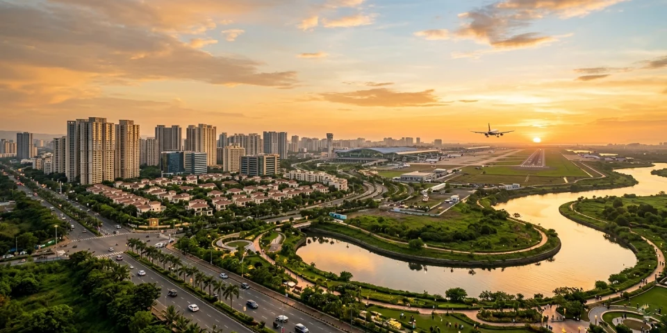
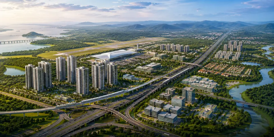
Think of it as the government’s answer to a simple problem: Mumbai and Navi Mumbai are both running out of land, while demand for housing, offices, and industry keeps climbing. Third Mumbai is the planned response, a new city built from scratch around the Navi Mumbai International Airport (NMIA) and the Atal Setu, rather than grown organically the way older parts of Mumbai were.
Quick facts
Detail | Information |
Official name | Karnala-Sai-Chirner (KSC) New Town |
Popular names | Third Mumbai, Maha Mumbai 3.0 |
Planning and development authority | MMRDA |
Area | Approximately 323 sq. km |
District | Raigad |
Talukas covered | Panvel, Uran, Pen |
Villages included | Around 124 |
Officially notified | 21 October 2024 |
Master plan target | 2026 |
Third Mumbai Location: Where Exactly Is It?
This is the question most people actually want answered, and it is where a lot of coverage stays vague. Here is the direct answer.
Third Mumbai sits immediately south and southeast of Navi Mumbai, in Raigad district, wrapped around the Navi Mumbai International Airport. It is not a single locality you can pin on a map with one marker. It is a 323 sq. km planning region stretched across three talukas:
- Panvel Taluka, on the northern edge, closest to existing Navi Mumbai and the airport, and where Anant Realty’s own projects sit today
- Uran Taluka, along the coast, home to JNPT port and the Atal Setu landing point
- Pen Taluka, further south, currently the most industrial and least developed of the three
To orient yourself without a map in front of you: if you are standing at Kharghar or Panvel railway station, Third Mumbai begins roughly where the city’s built-up area ends and stretches south toward Pen, covering everything in between Uran’s coastline and the Karnala hill range inland. It borders Navi Mumbai to the north, the Arabian Sea and JNPT to the west, and the NAINA (Navi Mumbai Airport Influence Notified Area) planning zone overlaps with parts of it.
The Third Mumbai City Map: Area-by-Area
Rather than treat Third Mumbai as one undivided zone, it helps to break the city map down by the villages and nodes that actually make it up. Here is how the region divides across its three talukas.
Panvel Taluka Nodes
This is the most developed and most livable stretch of the map today, because it borders existing Navi Mumbai infrastructure. It is also where Anant Realty chose to build, well before the “Third Mumbai” name entered common use.
- Taloja and Taloja Phase 2
- Karanjade and Kalundre
- Roadpali and Kamothe
- Rasayani
- Pushpak Nagar, right at the airport’s edge
- Wardoli, home to Anant Serene Park and Anant Serene Villas
Uran Taluka Nodes
The coastal half of the map, shaped by the port and the Atal Setu.
- Ulwe
- Dronagiri
- Chirle and Jasai (where Atal Setu lands on the Navi Mumbai side)
- The JNPT industrial belt
Pen Taluka Nodes
The least built-up section of the map, and the actual namesake core of KSC New Town.
- Karnala
- Sai
- Chirner
- Pen’s outer industrial belt
This last cluster, Karnala-Sai-Chirner, is the geographic centre of the plan and the reason for its official name. It is also the part of the map furthest from ready infrastructure today, which matters if you are comparing it to the northern Panvel nodes, and to communities like Anant Serene Park, for near-term livability.
Why Panvel Anchors the Third Mumbai Map
Every node in Third Mumbai connects back to one place first: Panvel. With the Mumbai–Pune Expressway, Panvel railway junction, upcoming metro connectivity, and the Navi Mumbai International Airport corridor converging here, it has emerged as the region’s most established and well-connected location. This strong infrastructure network has also made Panvel one of the preferred destinations for homebuyers looking for long-term growth.
Recognising this potential early, Anant Realty has been developing homes in Panvel for over a decade, long before Third Mumbai became a widely discussed concept. As one of the established real estate developers in Navi Mumbai, the company has built communities like Anant Serene Park and Anant Serene Villas in Wardoli, offering residents the advantage of living in a location that’s already connected to the infrastructure driving the region’s future growth.
Anant Serene Park and Anant Serene Villas: Two Ways to Get In Early
Anant Serene Park
A residential township offering a full spread of configurations, so it works whether you are buying your first home, upgrading for a family, or investing for the long term:
- 2 BHK apartments, ideal for first-time homebuyers, young professionals, and small families looking for functional living spaces.
- 3.5 BHK residences, designed for growing families who value an additional room for a home office, study, or guest space, bridging the gap between standard and larger family homes.
- 4.5 BHK luxury residences, offering spacious layouts and premium features for buyers seeking larger homes within Panvel’s emerging residential corridor.
With a choice of multiple home configurations in one community, Anant Serene Park suits different homebuyer needs while keeping them connected to one of Third Mumbai’s fastest-growing locations. Its proximity to NMIA also makes it relevant for buyers exploring flats near Navi Mumbai airport.
Anant Serene Villas
For buyers looking for more space and privacy, Anant Serene Villas offers premium twin villas in the same well-connected Wardoli location.
- Spacious twin villas, designed for families seeking independent, low-density living.
- Resort-style amenities, including landscaped open spaces, a grand clubhouse, and premium lifestyle facilities.
- Excellent connectivity, with convenient access to the Mumbai–Pune Expressway, Panvel, NMIA, and key infrastructure shaping Third Mumbai.
Anant Serene Villas brings together the privacy of independent living with the convenience of a well-connected location in Wardoli. Residents enjoy spacious twin villas, premium amenities, and seamless access to the Mumbai–Pune Expressway, NMIA, Panvel, and other key infrastructure.
Why These Are the Strongest Pick on This Map
Location That Is Already Proven, Not Just Promised.
Both communities sit in Panvel, the one part of the Third Mumbai map with live infrastructure today rather than infrastructure still awaiting the master plan.
A Developer With A Decade-Plus Track Record In This Exact Corridor.
Anant Realty has delivered 7+ projects and housed 1,000+ families since 2012, well before this region had a “Third Mumbai” label attached to it.
Configuration Flexibility Under One Roof.
Few developments in this corridor offer 2 BHK through 4.5 BHK flats and standalone villas within the same address, which means buyers do not have to compromise on location to get the layout they actually need.
Amenity-Rich, Low-Density Planning.
Both communities are designed around open space and civic planning that older, denser parts of Navi Mumbai ofte
In Short
Third Mumbai is not a rebrand of Navi Mumbai and it is not a finished city waiting to be toured. It is a 323 sq. km planning region in Raigad district, officially called KSC New Town, built around Panvel, Uran, and Pen talukas, with its foundational government approvals in place and its master plan still taking shape.
For anyone evaluating where to enter this map today, Panvel remains the most grounded starting point, already connected, already livable, and already home to Anant Realty, a developer that has spent over a decade building in this exact corridor.
Anant Serene Park offers 2, 3.5, and 4.5 BHK homes for buyers at nearly every stage, and Anant Serene Villas offers premium twin villas for those who want more space and privacy, both inside the same well-connected Wardoli address. If you are exploring residences in this part of the Third Mumbai map, get in touch with Anant Realty to see current availability before this corridor prices in the rest of the plan.